|
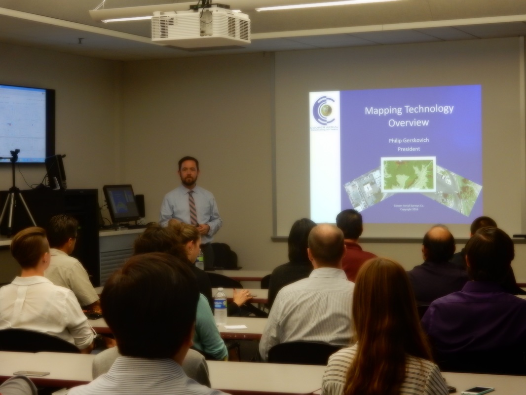
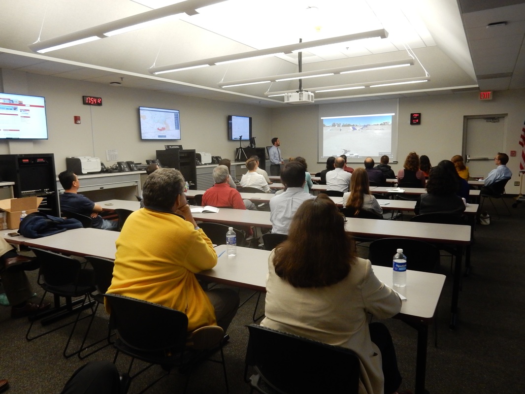
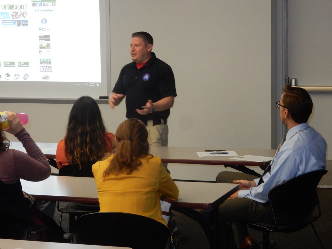
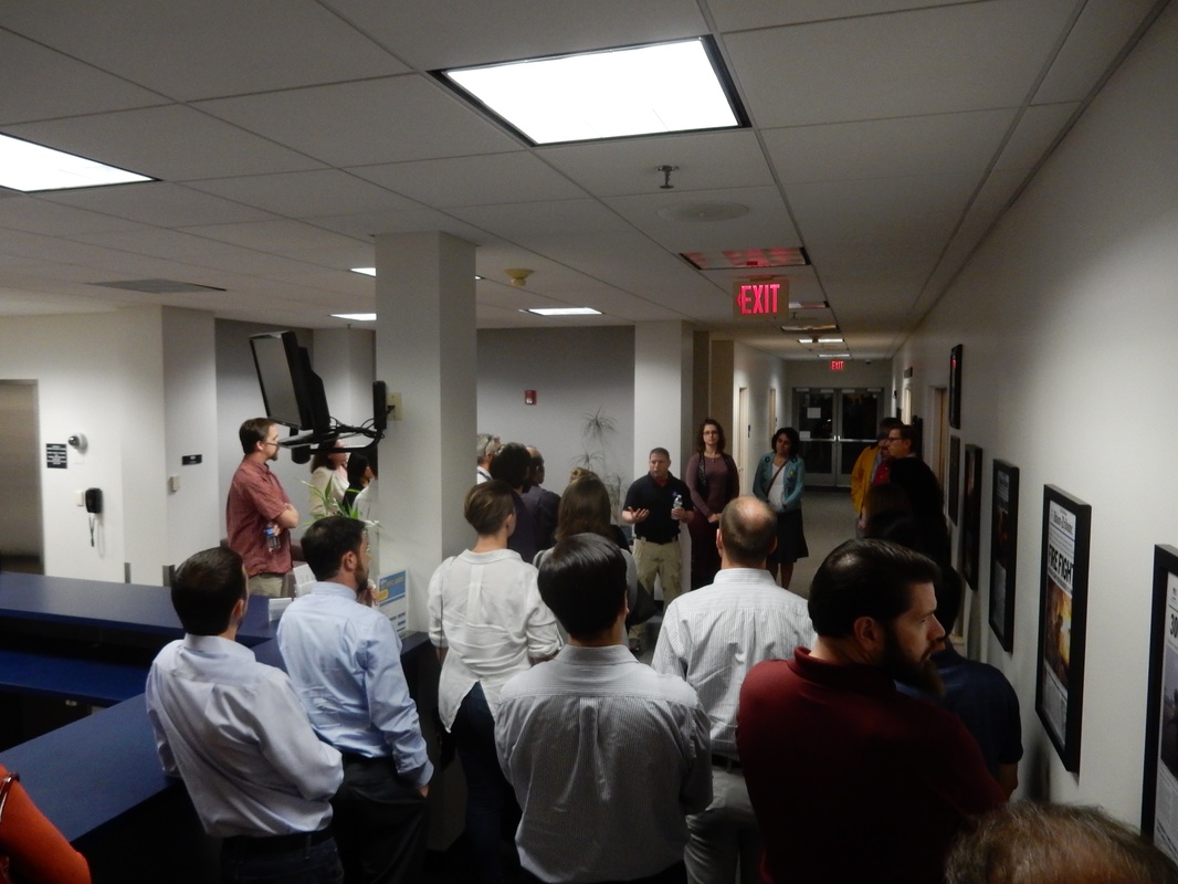
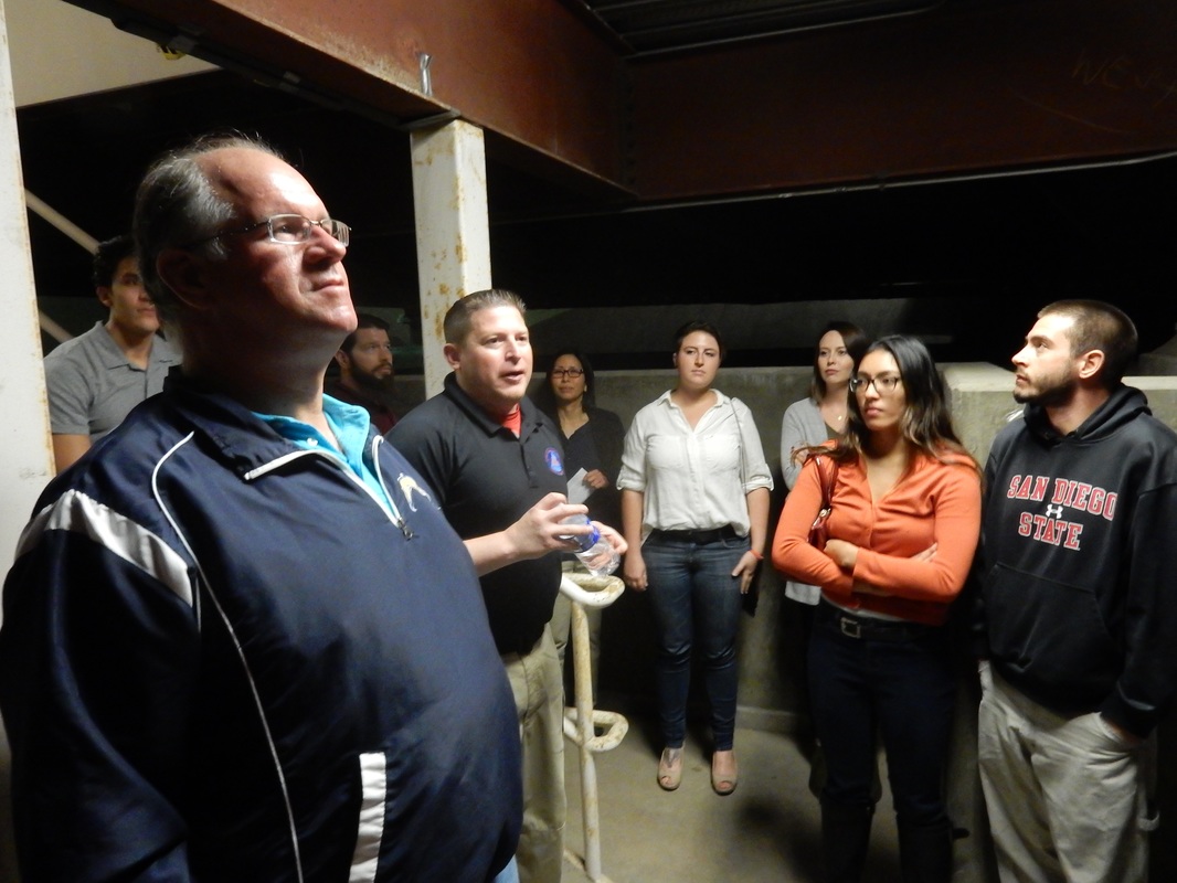
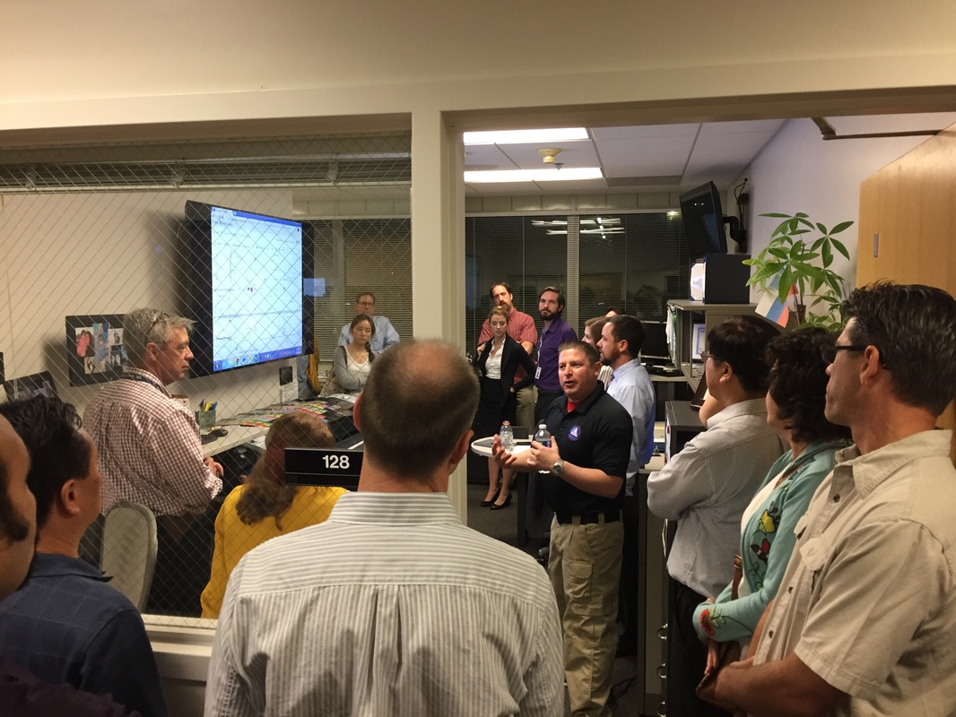
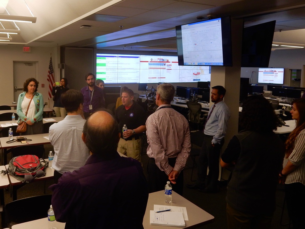
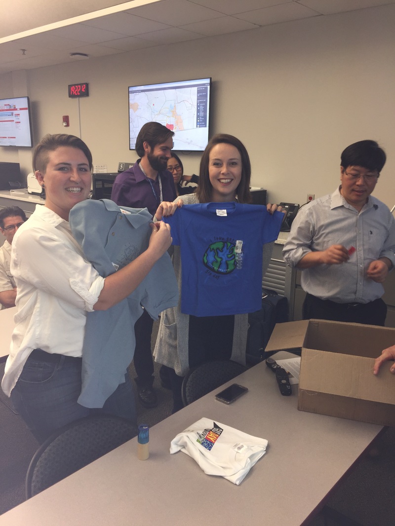
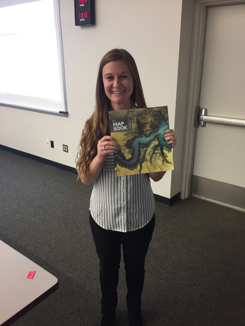
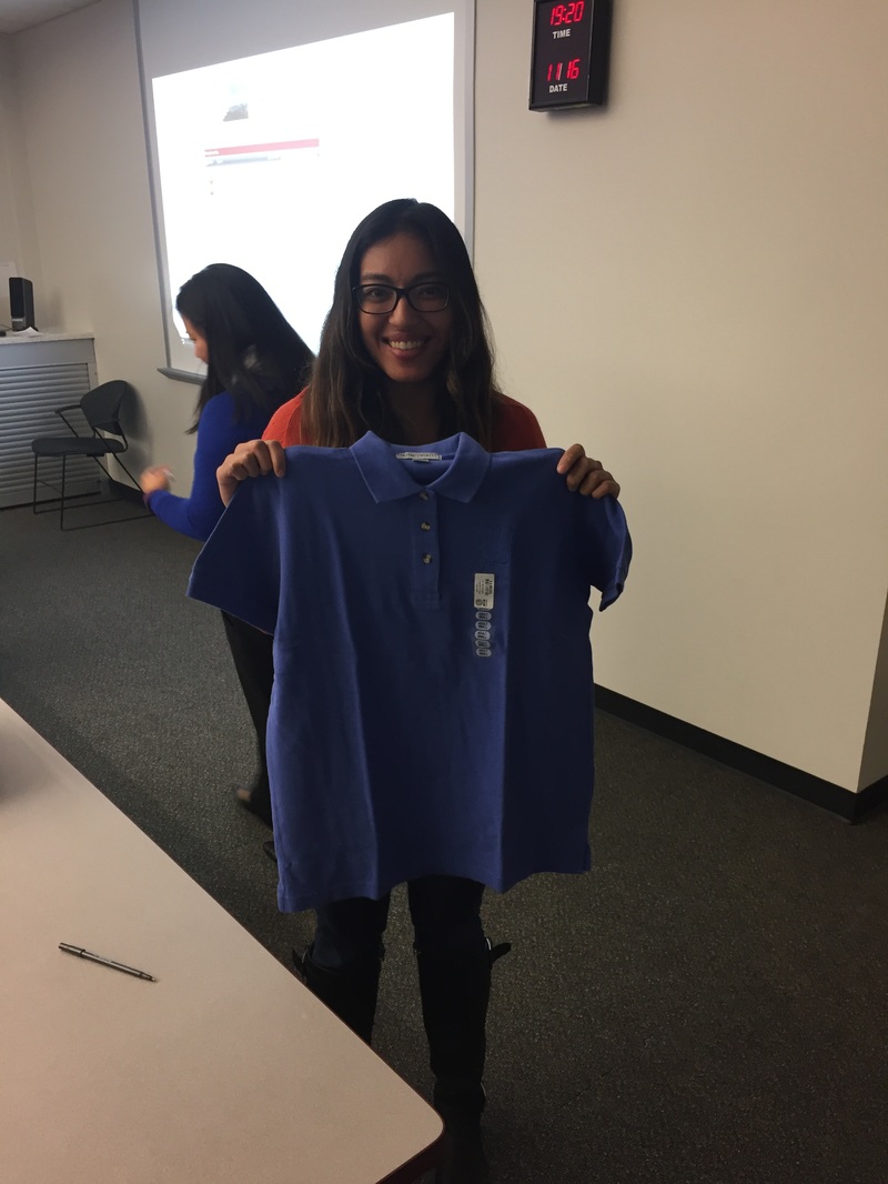
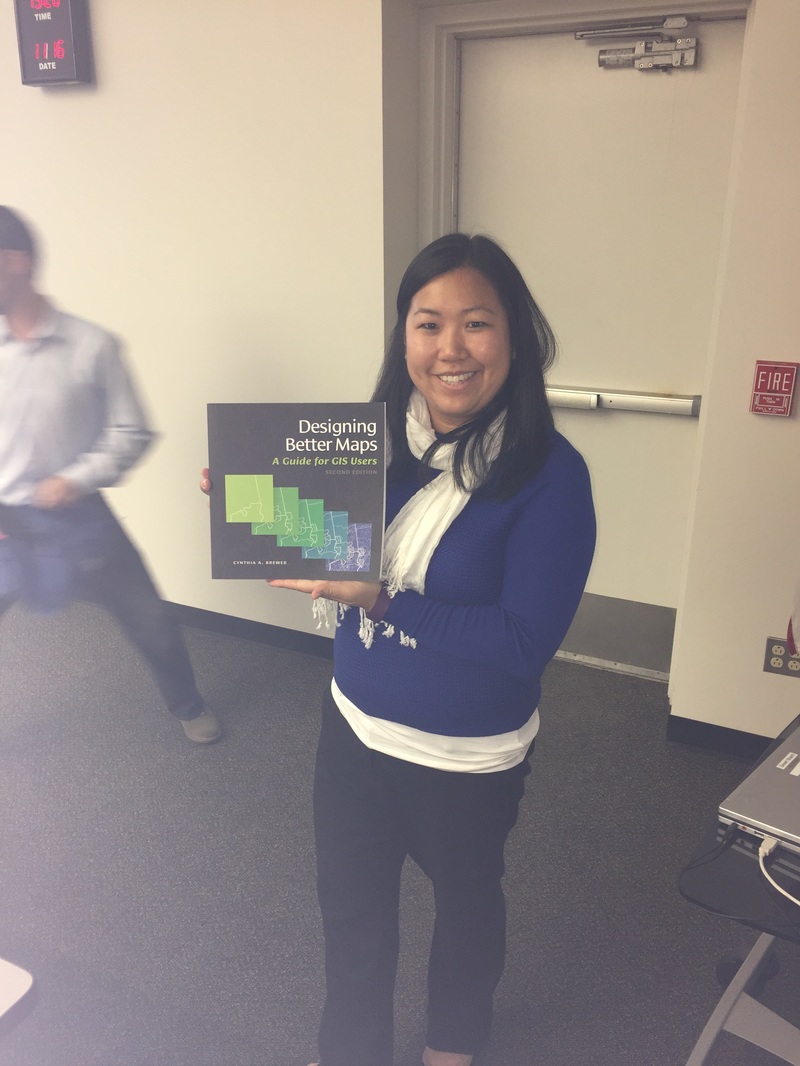
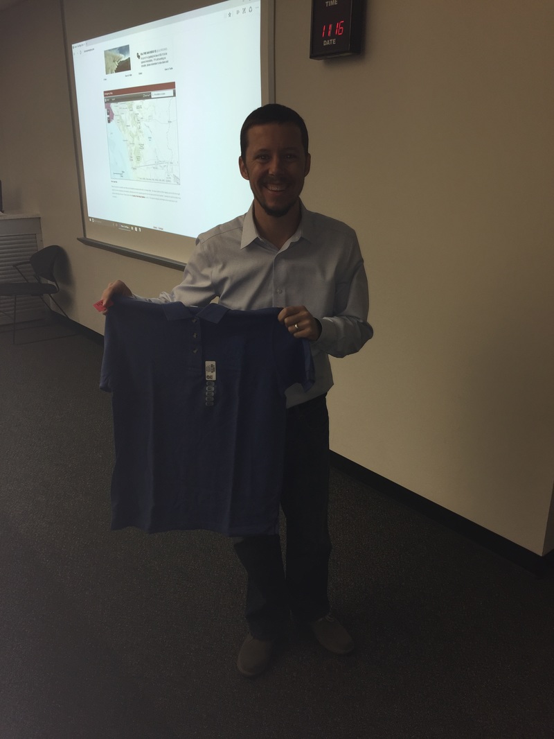
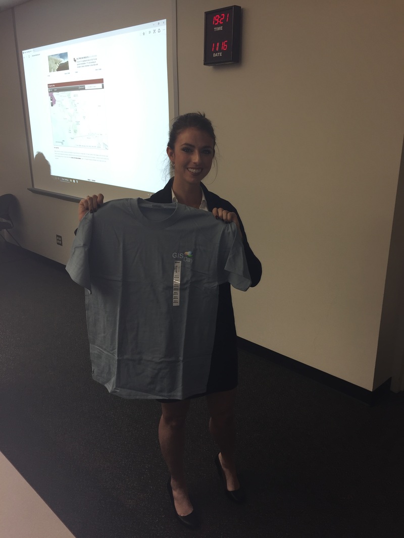
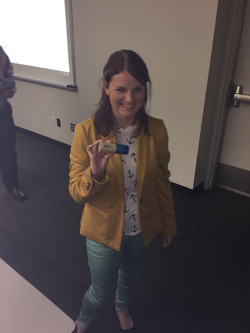
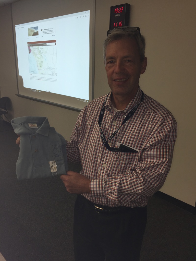
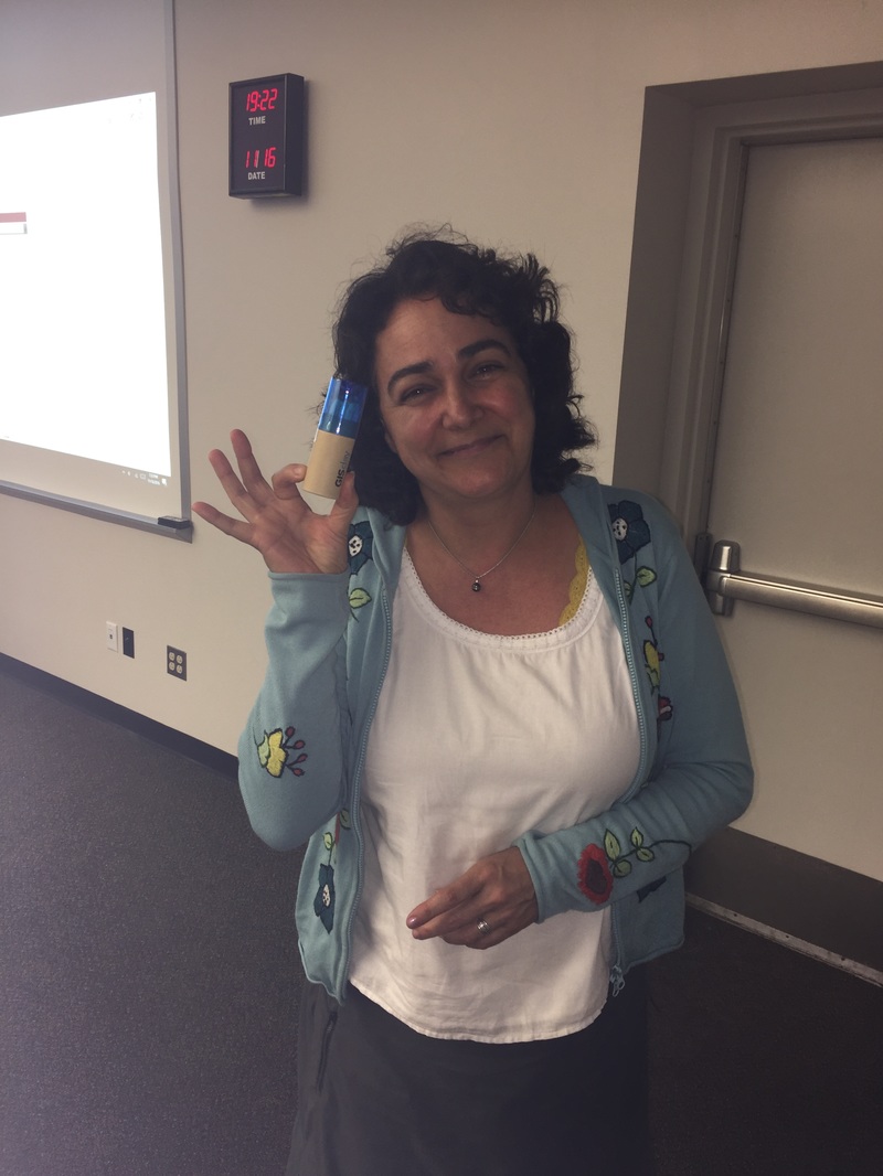
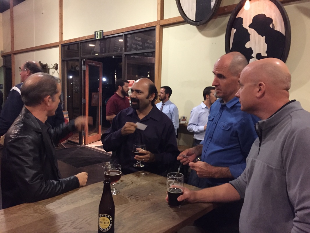
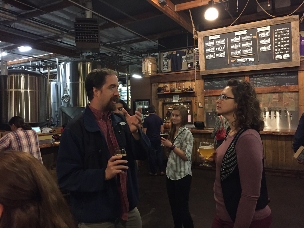
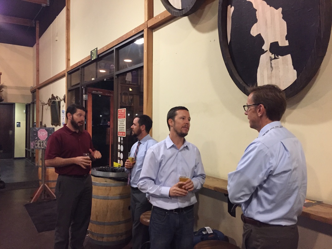
Geospatial San Diego and SoCal URISA teamed up to create a multi-faceted GIS Day event, and it was a tremendous success! The event started with a presentation by Phil Gershkovich of Cooper Aerial Survey (presentation available for download below), followed by a tour of the San Diego Office of Emergency Services (OES) operations center (~45-60 min) provided by Rob Barreras, and ending up with food and beverages at Societe Brewing Company. Here are some great pictures from the event... We'd also like to say thank you to our friends at ESRI that provided SWAG for give-aways!
0 Comments
Leave a Reply. |
|||
 RSS Feed

