|
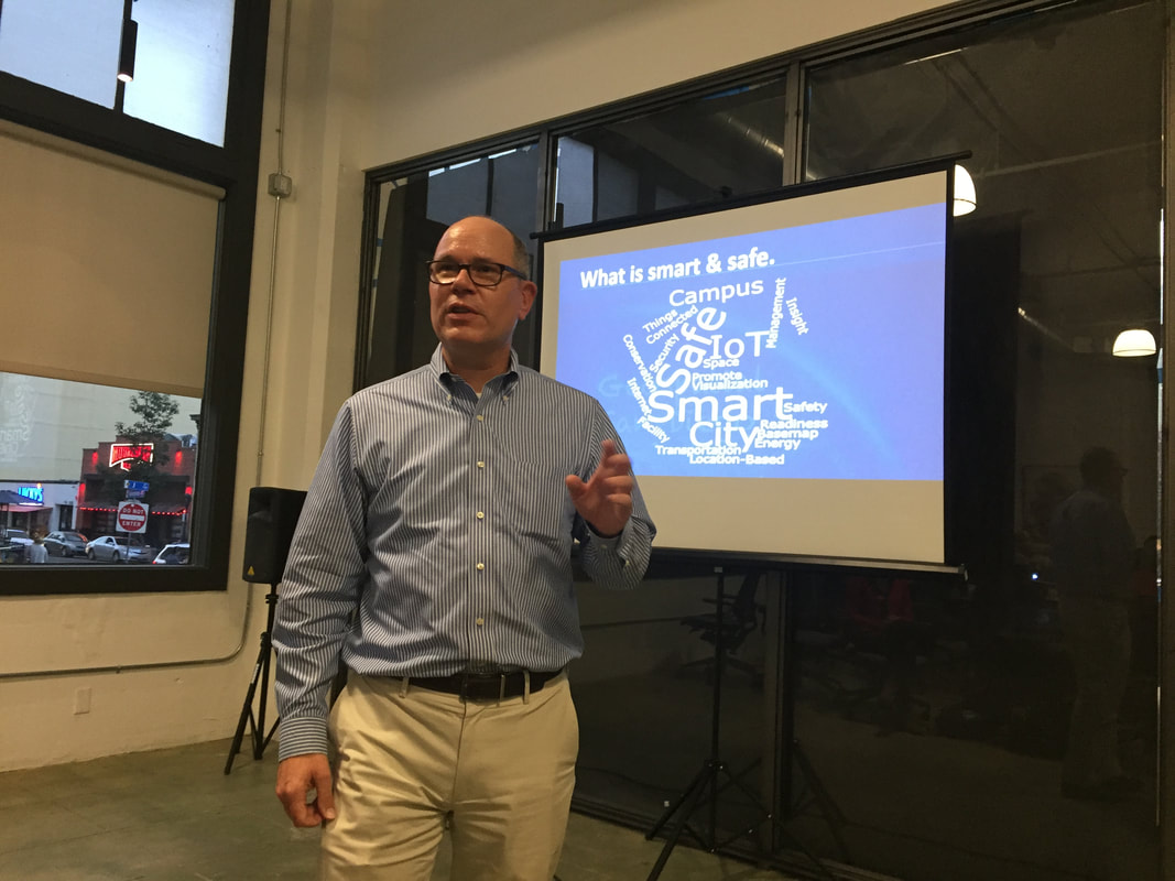
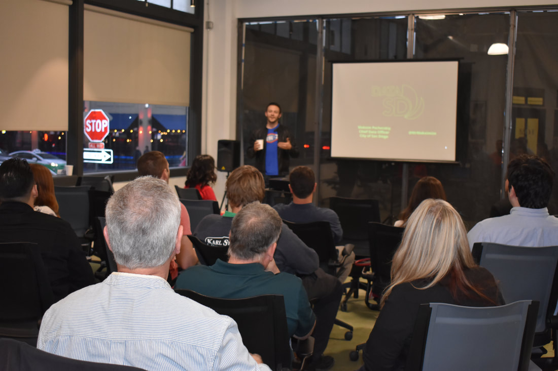
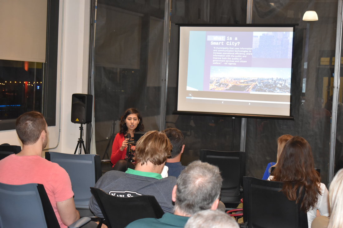
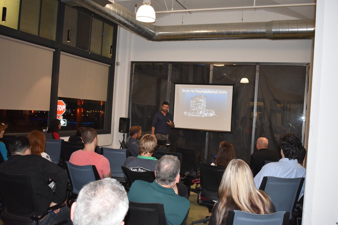
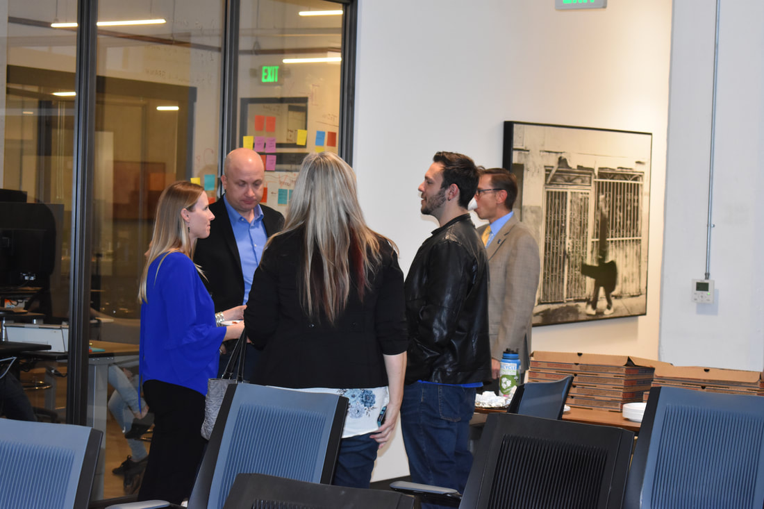
Smart and Safe City Innovations was the theme for the February 2018, Geospatial San Diego gathering at the East Village Urbanite @ Union Cowork in downtown San Diego. The event was hosted and sponsored by Evari GIS Consulting, Inc. and MC'd by our very own Fred Woods, VP of Marketing with GeoNeo, Inc. Maksim Pecherskiy, Chief Data Officer with the City of San Diego, stated the presentations, gave an informative discussion on “DataSD”. The volume, velocity and variety of data his team is responsible for is immense. He discussed how they were able to create a portal and apps for easy access, by the public and city employees to use of the city’s data. His team even won American Public Works Association (APWA) Honor Award for the Interactive Street Condition Map. Our second presenter of the evening was Jessica Sanchez, GIS Analyst with Evari GIS Consulting, Inc. She presented on, City IQ Node Deployment. Evari GIS was contracted by the City of San Diego to plan and implement the smart streetlight integration within the city. The smart streetlights will provide a large IoT platform of about 3,200 smart streetlights. This will enable analysts and decision makers see, sense and hear, helping to make the city smarter and safer. The final presentation of the evening was by Myles Sutherland & Mike Colosimo, partners in a geospatial consulting and innovation firm called One Degree North, with GroundVu and IndoorVu) as new geospatial-based companies. They presented on why a virtual reality/augmented reality (VR/AR) city is needed. Where AR gives you the contextual, heads-up, and VR enables remote access to others, such as expert technicians, enabling collaboration with field workers and management. Their work enables a geospatial twin city.
0 Comments
|


 RSS Feed

