|
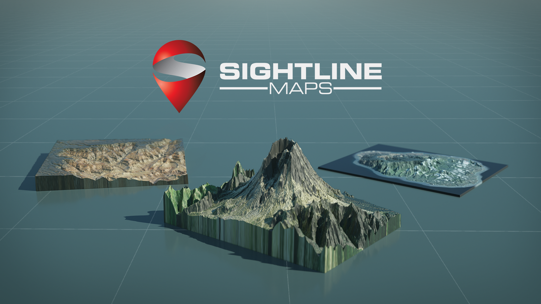
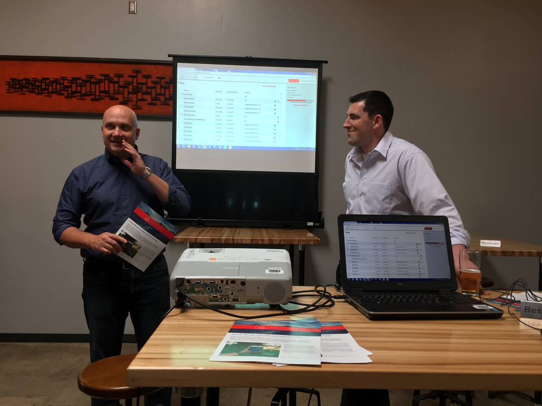
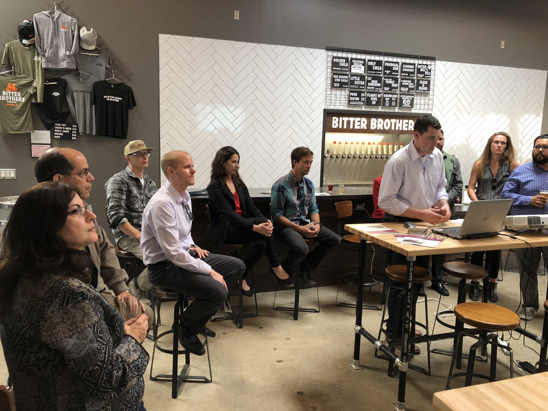
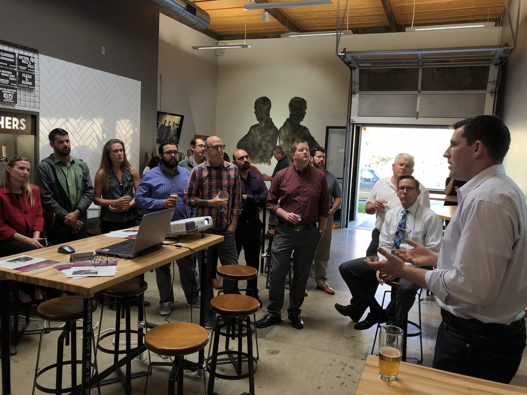
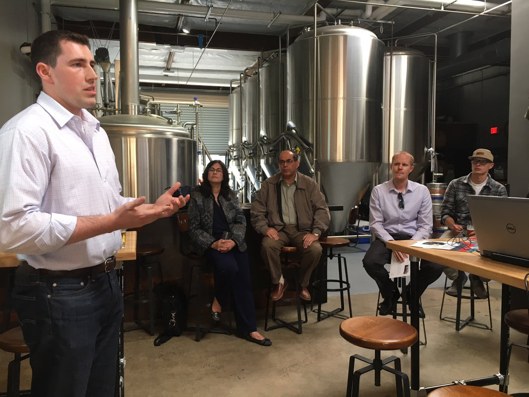
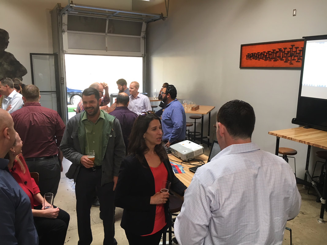
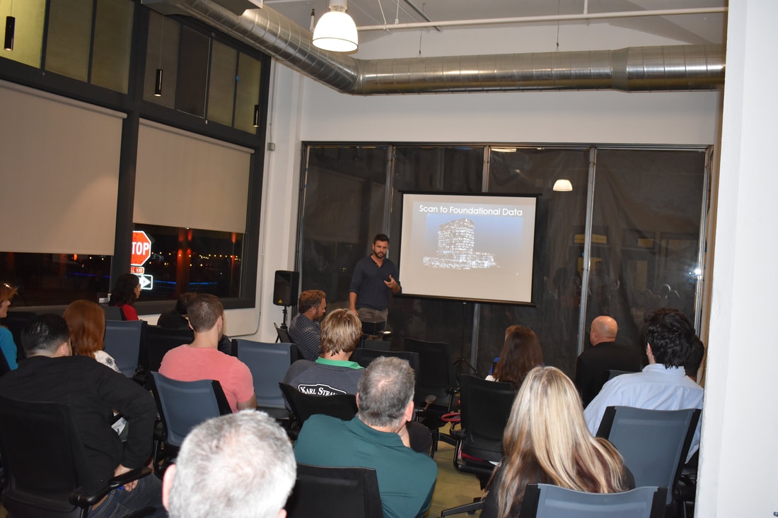
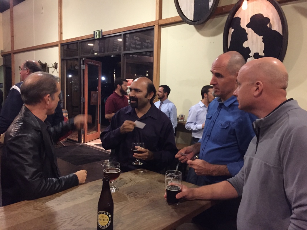
Thank you to everyone who joined us for our May Gathering at Bitter Brothers Brewery for networking and the presentation by Ben Judge, CEO of Sightline Maps. There was a lot of great discussion and conversation related to the use of lidar data for GIS mapping, Smart/Safe facilities, and many other uses. We also had the opportunity to enjoy some great beer, so thank you to Bitter Brothers for hosting us in your facility!
0 Comments
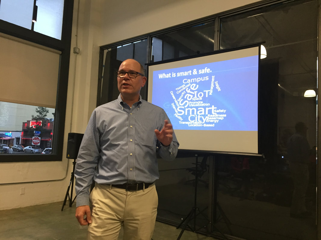
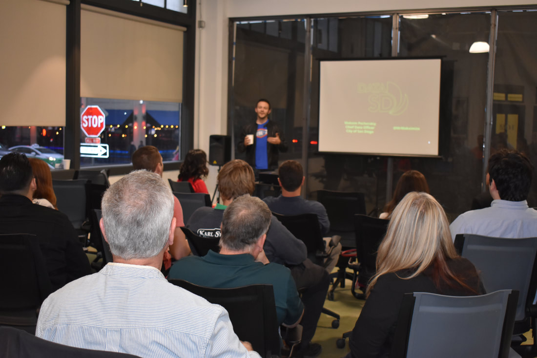
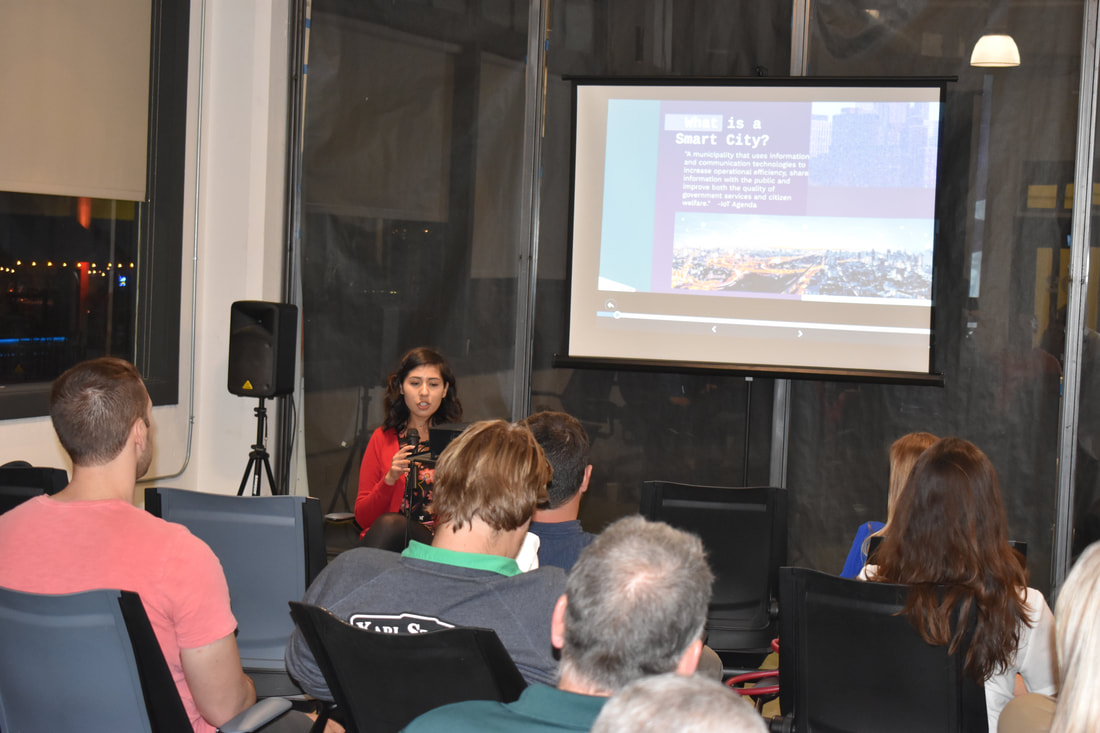
Smart and Safe City Innovations was the theme for the February 2018, Geospatial San Diego gathering at the East Village Urbanite @ Union Cowork in downtown San Diego. The event was hosted and sponsored by Evari GIS Consulting, Inc. and MC'd by our very own Fred Woods, VP of Marketing with GeoNeo, Inc. Maksim Pecherskiy, Chief Data Officer with the City of San Diego, stated the presentations, gave an informative discussion on “DataSD”. The volume, velocity and variety of data his team is responsible for is immense. He discussed how they were able to create a portal and apps for easy access, by the public and city employees to use of the city’s data. His team even won American Public Works Association (APWA) Honor Award for the Interactive Street Condition Map. Our second presenter of the evening was Jessica Sanchez, GIS Analyst with Evari GIS Consulting, Inc. She presented on, City IQ Node Deployment. Evari GIS was contracted by the City of San Diego to plan and implement the smart streetlight integration within the city. The smart streetlights will provide a large IoT platform of about 3,200 smart streetlights. This will enable analysts and decision makers see, sense and hear, helping to make the city smarter and safer. The final presentation of the evening was by Myles Sutherland & Mike Colosimo, partners in a geospatial consulting and innovation firm called One Degree North, with GroundVu and IndoorVu) as new geospatial-based companies. They presented on why a virtual reality/augmented reality (VR/AR) city is needed. Where AR gives you the contextual, heads-up, and VR enables remote access to others, such as expert technicians, enabling collaboration with field workers and management. Their work enables a geospatial twin city. To celebrate GIS Day, we held a no-host social event at Stone Brewery in Liberty Station. Thank you to everyone who attended and helped us celebrate! 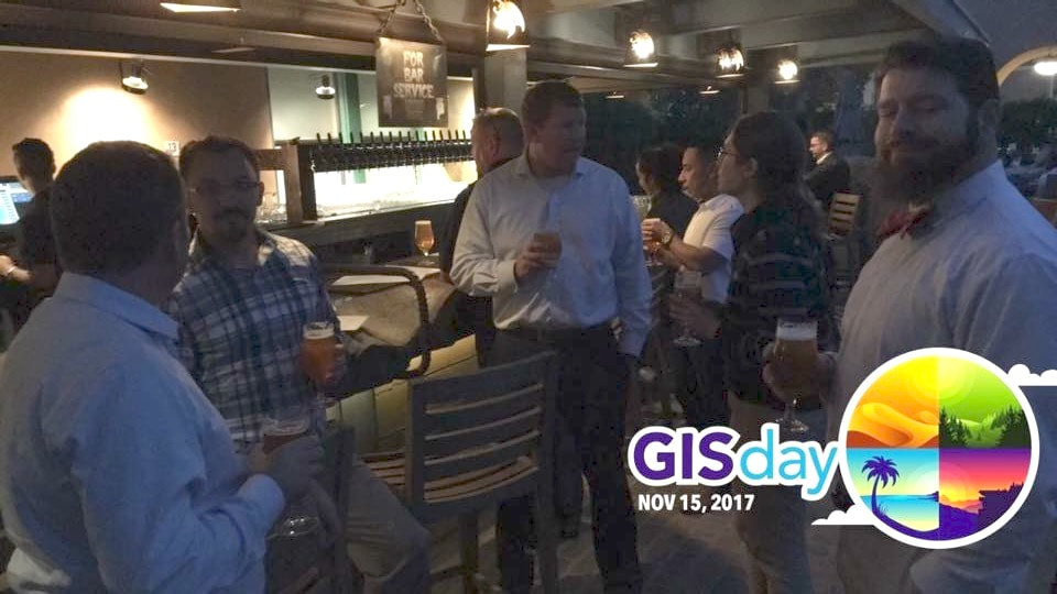 Thank you to everyone who attended tonight's Geospatial San Diego gathering. It was great seeing all of the familiar faces and getting to know the new ones, as well. We'd like to give a big thank you to our presenters, NEOS Ltd. and AirSpace Consulting, for a great presentation! (Slides available for download below.) We look forward to your on-going participation in our group. We also said farewell and thank you to Sharon Liu who has formally stepped down from the Geospatial San Diego leadership team. We are grateful for her leadership and support over the past 4 years!!! As Sharon's replacement, we welcomed Mario Terrazas to the leadership team. Mario was instrumental in coordinating tonight's very successful event, and we are looking forward to his continued support for years to come! Download Presentation Slides Here: NEOS_GeoSpatial_Slides_21Spet17.pdf
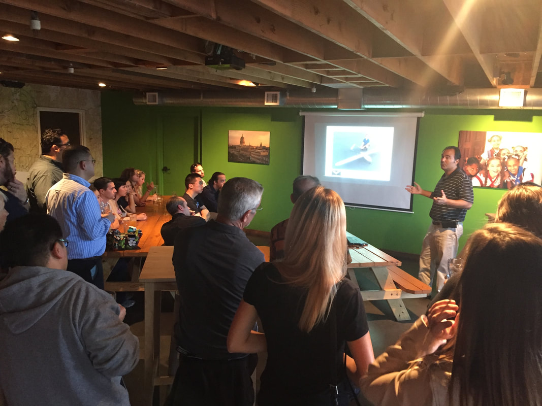
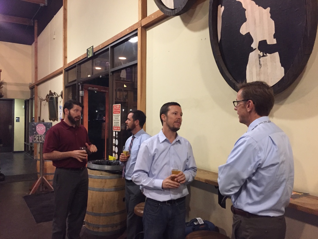
Our annual Pizza Night during the ESRI conference week was a smash hit! We had over 130 people in attendance, and the event was a smash hit! Thanks again to our great friends at CGIA, SoCal URISA, and Geospatial LA for co-hosting the meeting with us. We we're so happy to see so many familiar faces, as well as to meet all of the new ones that attended! 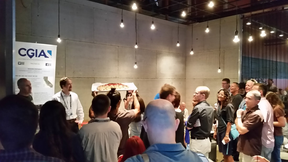 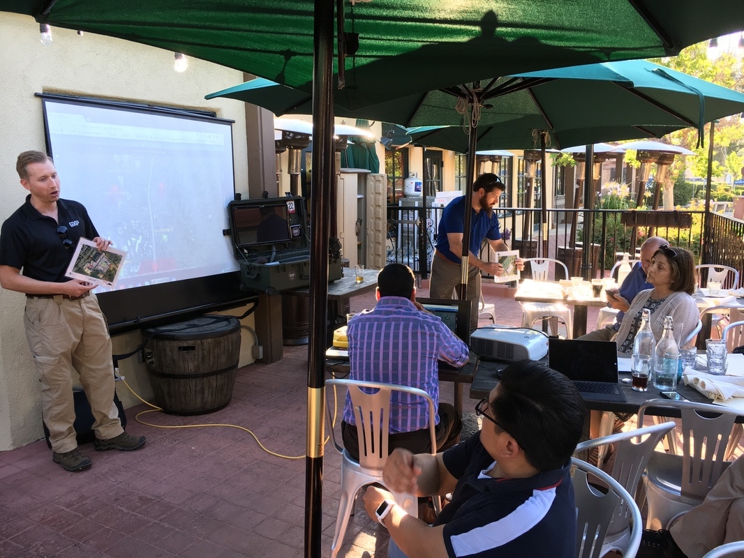 We were at the Urge Gastro Pub in Rancho Bernardo on a HOT day. BAE presented a short demo on their GXP OpsView, a new web-based application which supports Emergency Operations & Crisis Response. GXP OpsView provides situational awareness through strategic planning tools, simplified communications, and a Common Operating Picture (COP). Our appreciation to Zip and Steven from BAE for enduring the heat and the four-car pile-up on the I-15 that curbed attendance!
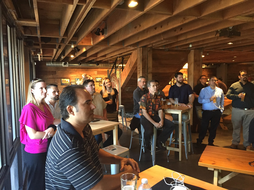
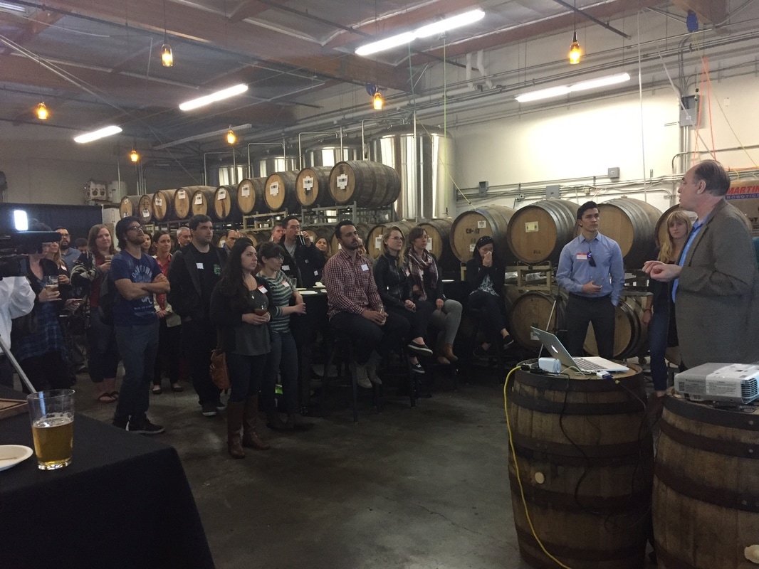
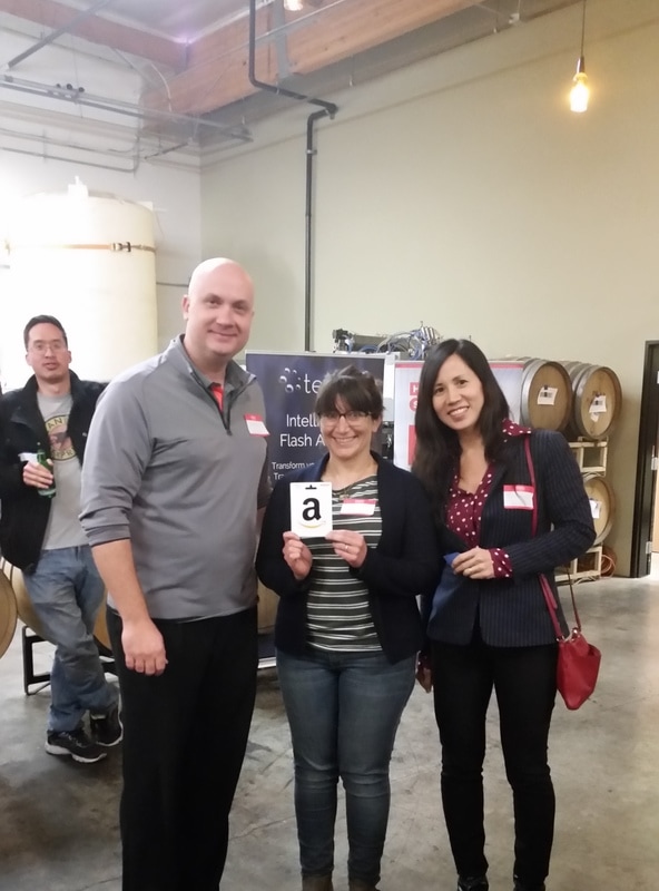
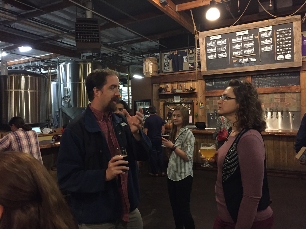
We kicked off 2017 with a BIG event to socialize with peers while learning how next-generation data storage technologies will help with geospatial BIG data. We recruited three great companies to come share their technologies with us, and we gathered in a private meeting room at Rough Draft Brewing Company. Thank you to Tegile, HGST, and Weka.io for presenting and sponsoring the evening and for the give-ways and raffle items. We had a great time and learned a lot!
The International Map Industry Association held their Americas Conference in San Diego Hotel San Diego November 29th – December 1st. Geospatial San Diego held a fun networking event to entertain all of the visiting IMIA conference attendees at the Fairweather next to Petco Park. Our own Rob "Space" Kraft was fortunate to present to the conference.
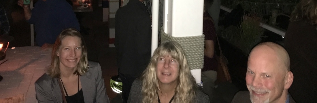
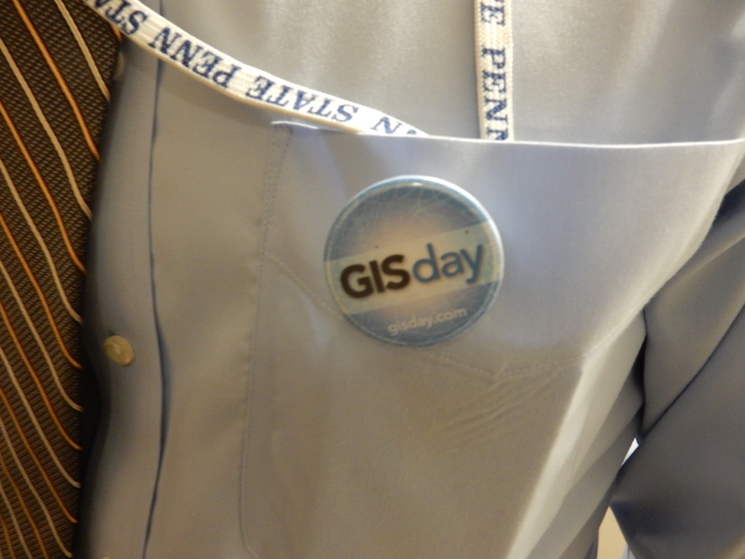
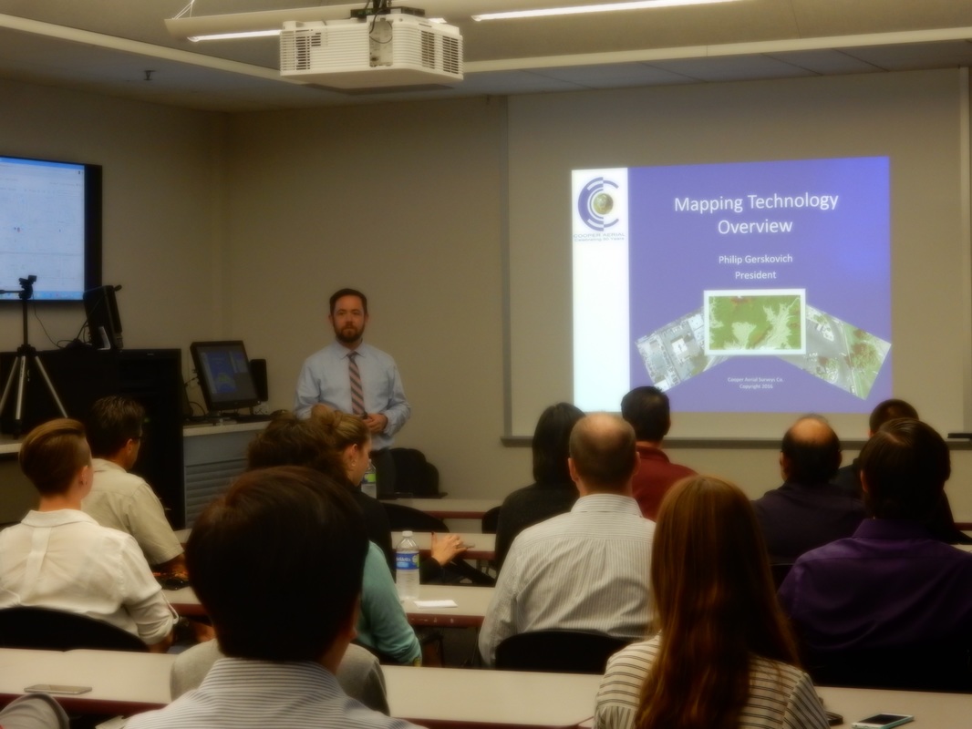
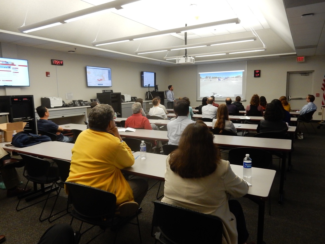
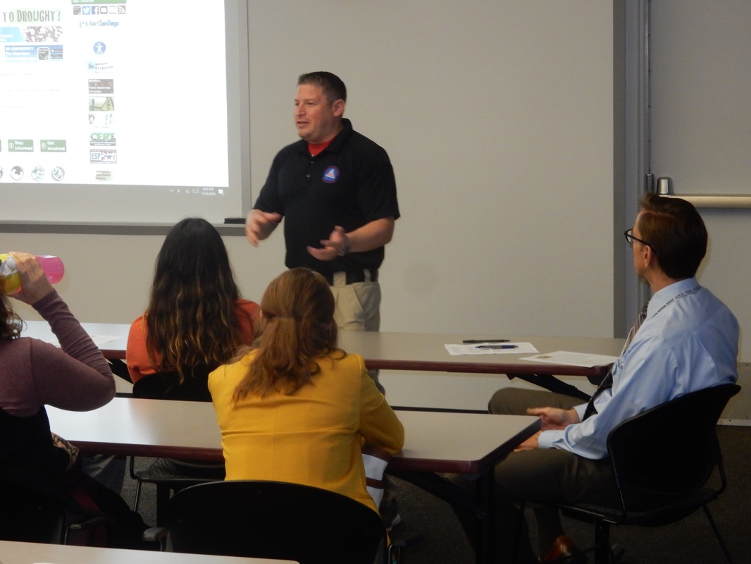
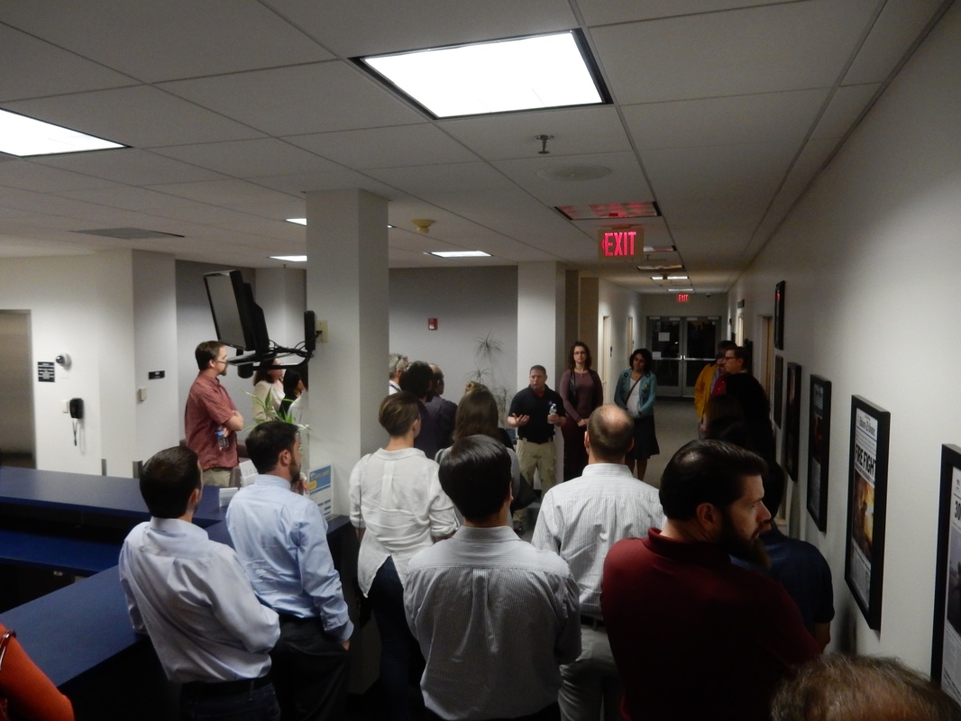
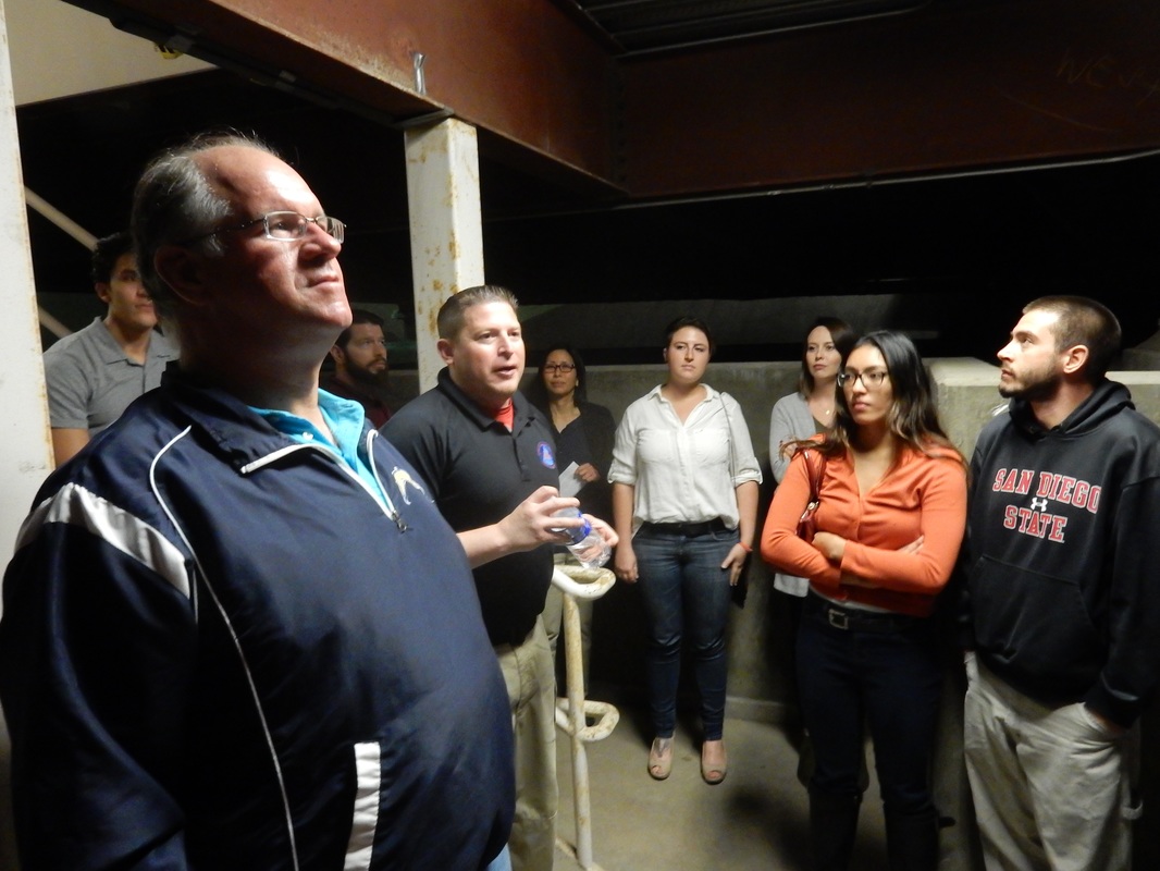
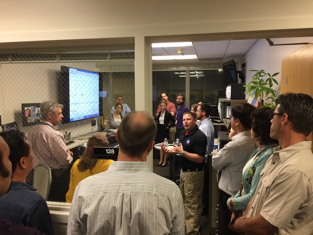
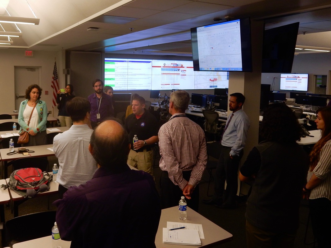
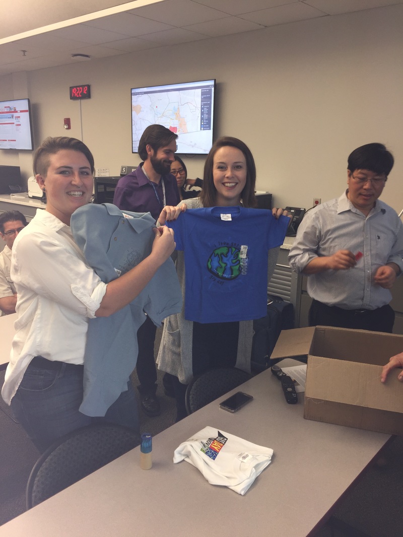
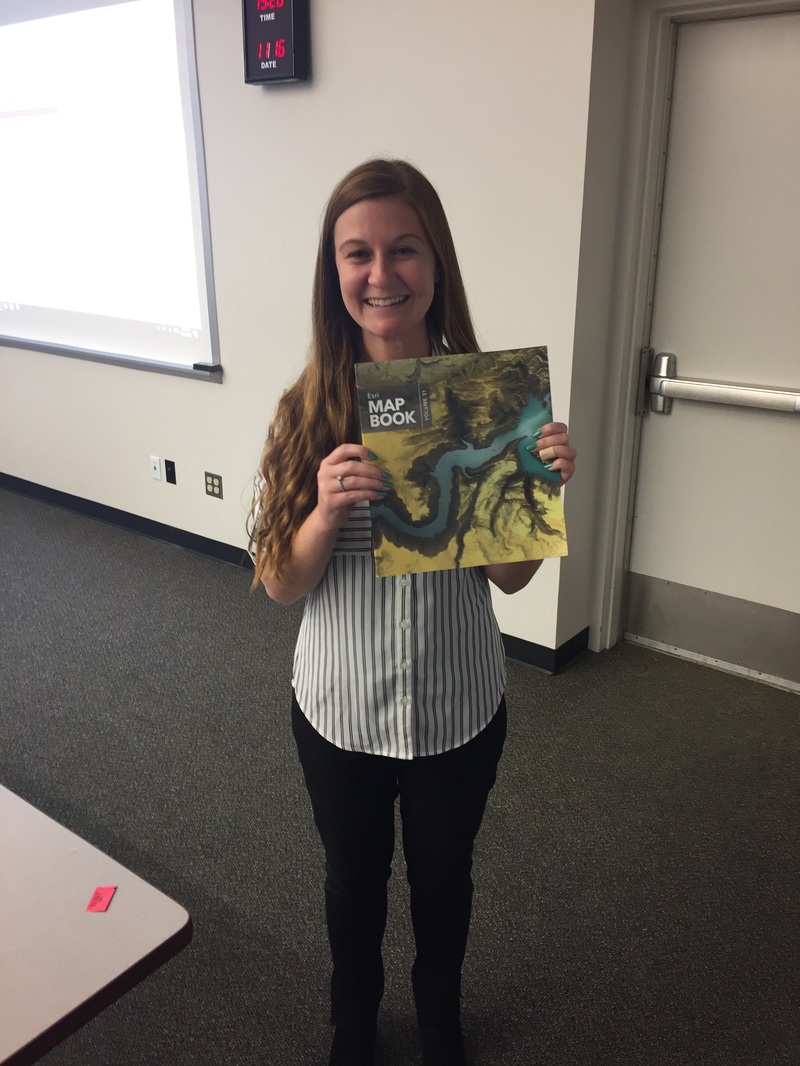
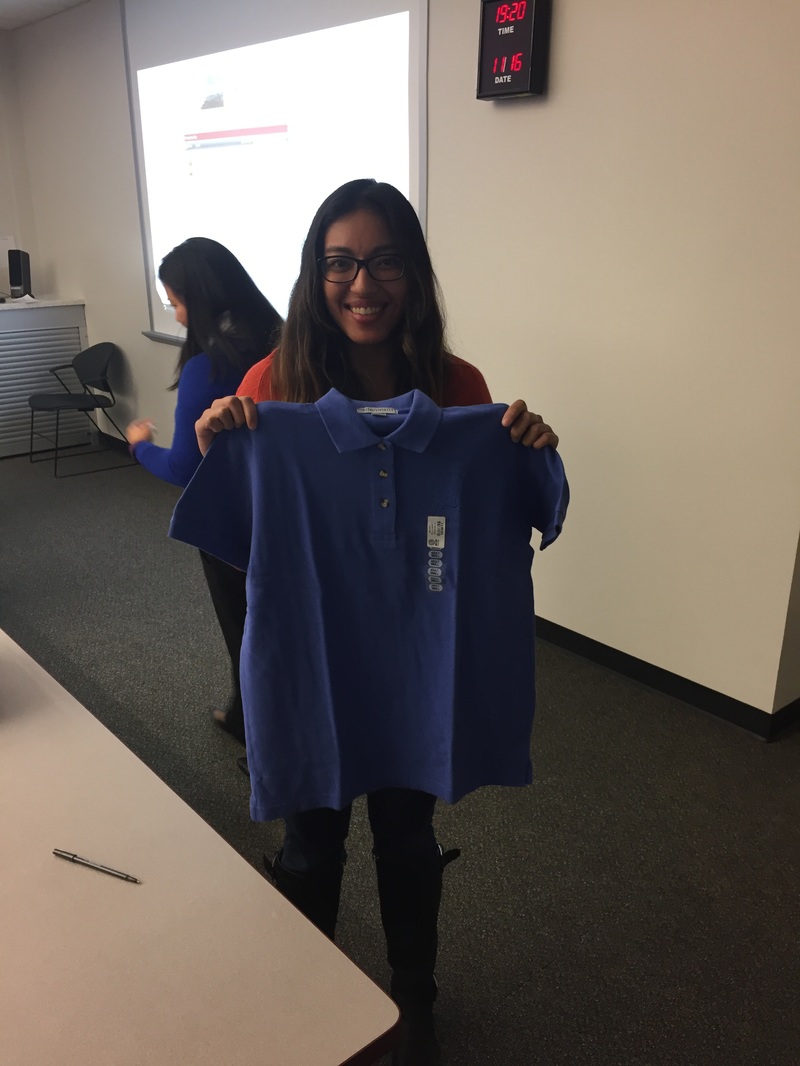
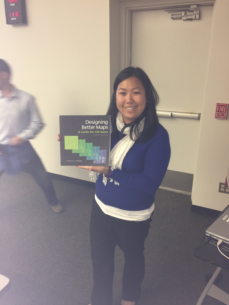
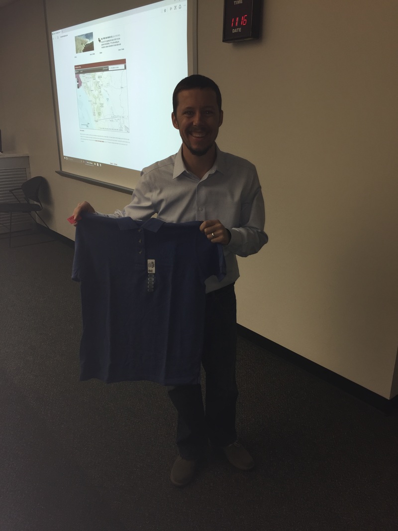
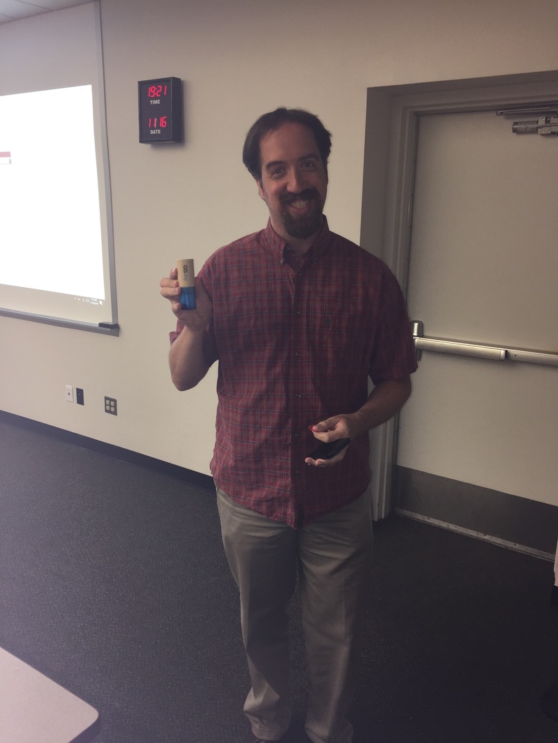
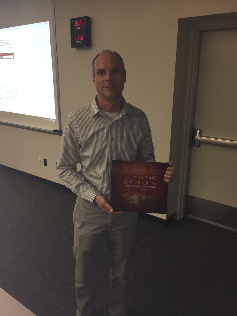
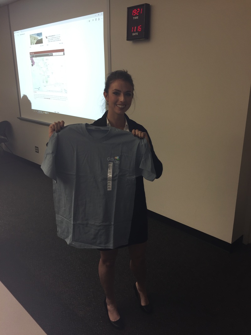
Geospatial San Diego and SoCal URISA teamed up to create a multi-faceted GIS Day event, and it was a tremendous success! The event started with a presentation by Phil Gershkovich of Cooper Aerial Survey (presentation available for download below), followed by a tour of the San Diego Office of Emergency Services (OES) operations center (~45-60 min) provided by Rob Barreras, and ending up with food and beverages at Societe Brewing Company. Here are some great pictures from the event... We'd also like to say thank you to our friends at ESRI that provided SWAG for give-aways!
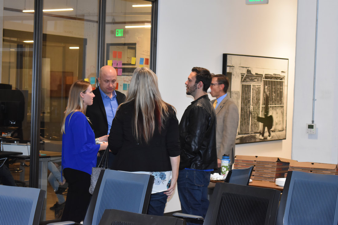
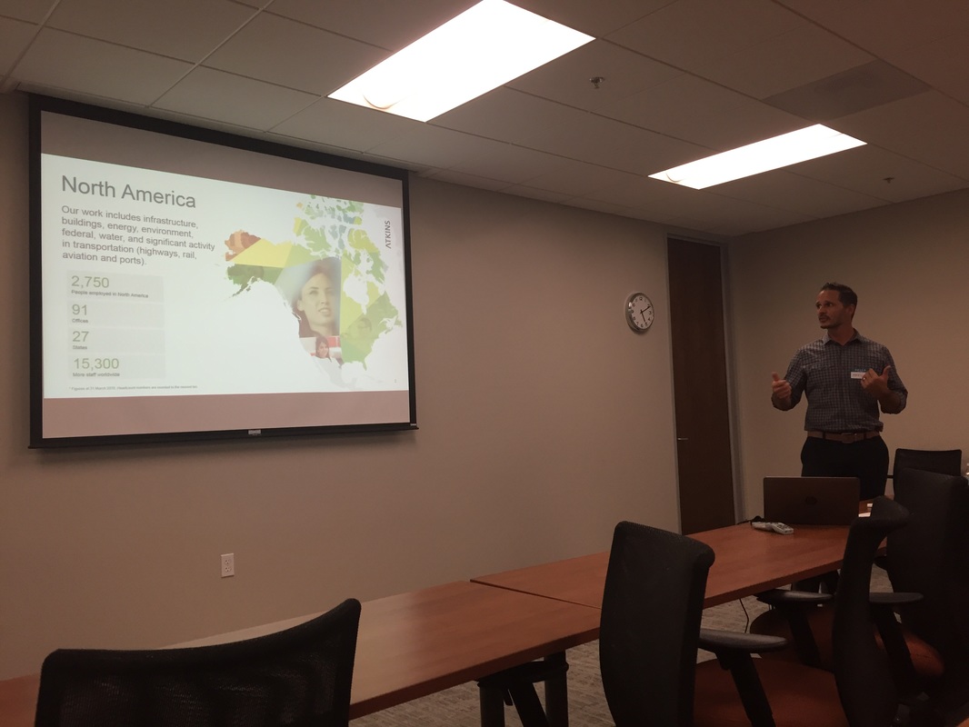
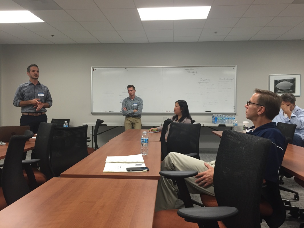
A big THANK YOU to Marc, Kurt, and Brenden from Atkins Global for opening their beautiful facility for us, and for walking us through their lessons-learned in mobile data collection. We covered many topics related to field data collection, from phones/tablets...to external GPS devices...to mobile apps and data architectures. Thanks to everyone who attended (the crowd was bigger than shown in the pictures), as well. |
|||||


 RSS Feed

