|
NGA successfully conducted a "hackathon" in Los Angeles this past weekend, March 25th and 26th, to investigate how geospatial information can be used to better understand, model, visualize, and monitor the nexus between food security and regional stability... all with the goal of helping predict and understand future humanitarian/military crises. 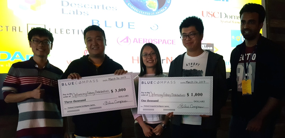 Link to website: http://expeditionhacks.com/la/
0 Comments
Leave a Reply. |
Archives
April 2017
Categories |
 RSS Feed
