|
CosmiQ Works, DigitalGlobe and NVIDIA are challenging the Topcoder Community to develop automated methods for extracting building footprints from high-resolution satellite imagery. Such automated methods will help create more accurate maps, more rapidly. Over $15k in total prizes will be awarded when the winners are announced on June 1st, 2017. Check it out... 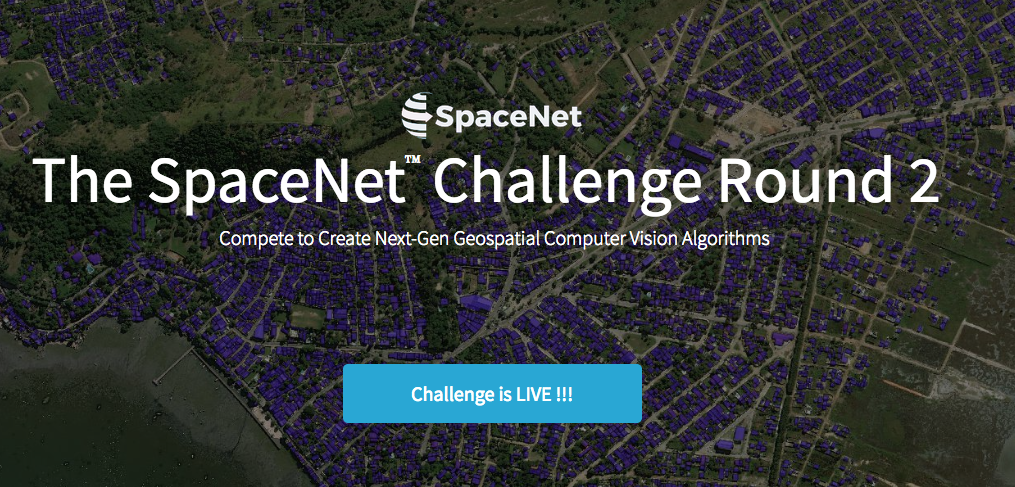
0 Comments
NGA successfully conducted a "hackathon" in Los Angeles this past weekend, March 25th and 26th, to investigate how geospatial information can be used to better understand, model, visualize, and monitor the nexus between food security and regional stability... all with the goal of helping predict and understand future humanitarian/military crises. 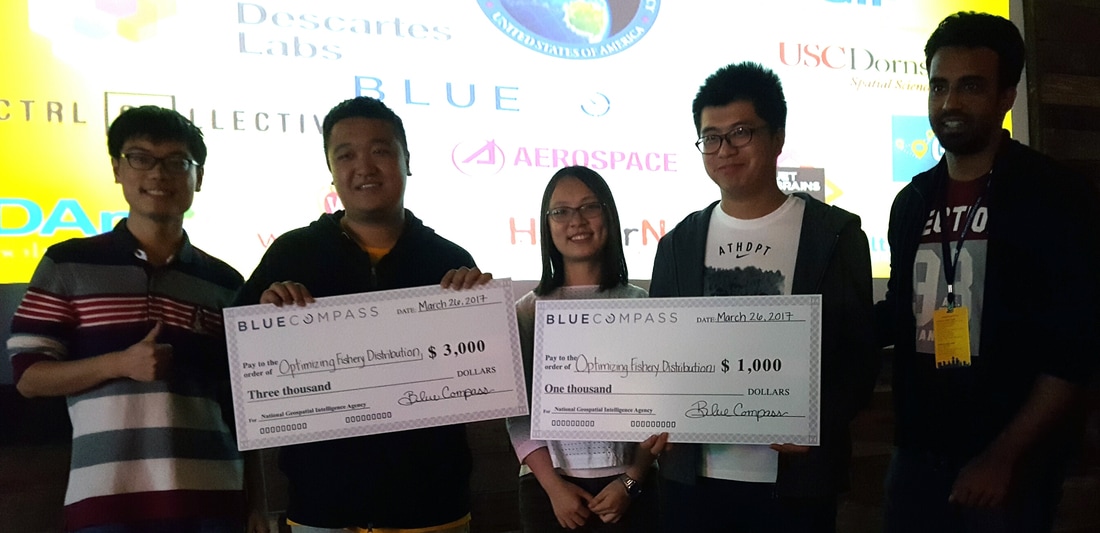 Link to website: http://expeditionhacks.com/la/
Maybe we'll host an upcoming Geospatial San Diego gathering there for some live drone demos??? 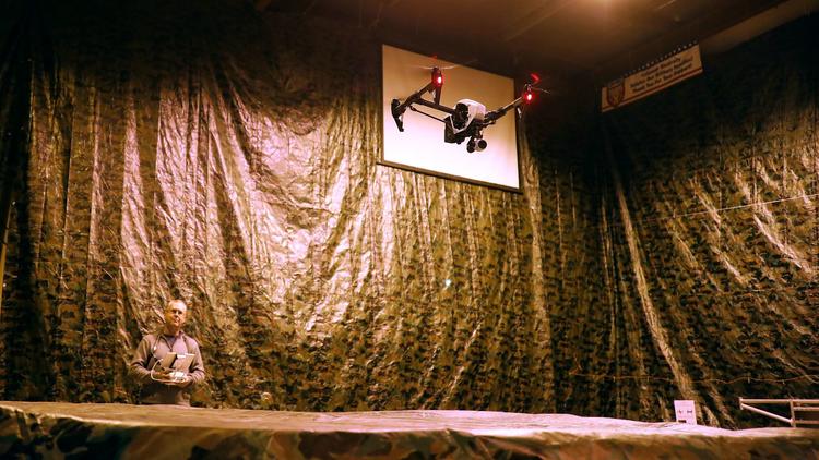 |
Archives
April 2017
Categories |
 RSS Feed
